Images of the sub-surface
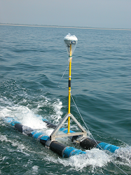
Emerged coastal barriers: The internal architecture and stratigraphy of the explored deposits is surveyed using a non-destructive geophysical method; the Ground Penetrating Radar (GPR). GPR measures changes in the electromagnetic properties of sediments that cause reflection of the electromagnetic energy emitted and by the system. The pictures below show the monostatic shielded RIS MF Hi-Mod #1 IDS-GPR system composed by: multichannel radar control antenna with a dual frequency antenna 200 and 600 MHz. The changes in the electromagnetic properties of the sediment result primarily from changes in water content, which are in turn controlled by grain size and porosity. Finally, those changes in grain size are the focus of our work as they represent the depositional history.
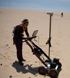
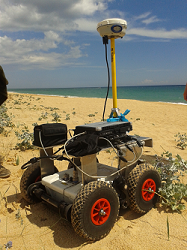
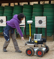
The system of the pictures is set to simultaneously record the position and elevation of every trace or single datum using a Real Time Kinematic (RTK) Global Positioning System (GPS).
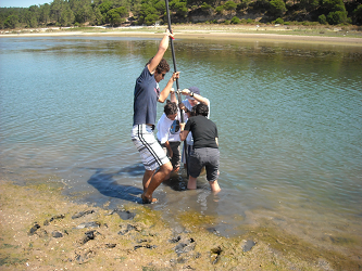
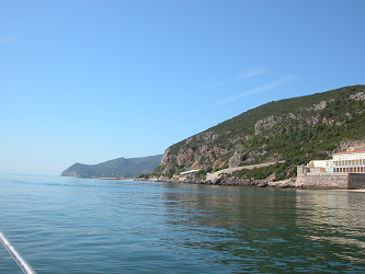
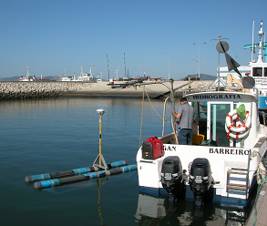
Submersed deposits: Geophysical survey of the Sado ebb-delta and Comporta beach nearshore.
Study sites
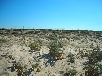
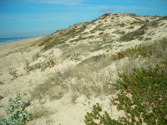
Monitoring foredune growth and vegetation coverage in Ria Formosa Barrier Islands.
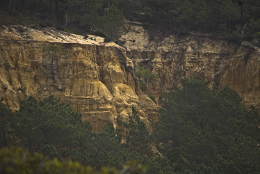
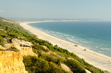
Images of the fossil cliff in Costa da Caparica. The picture on the left shows the weathered inactive cliff and the cliff-top dunes (lighter colour sand) enchroached on top. The right picture shows the beach at the base of the cliff.
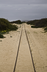
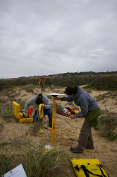
Coastal dunefield developed at the base of the cliff at Costa da Caparica. The picture on the left shows the track that travels along the coast. The picture on the right shows the setting up of the base of the GPS base station.
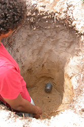
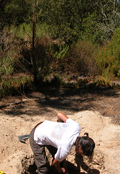
Sediment sample collection for Optically Stimulated Luminescense (OSL) dating and sediment texture characterization.